Categories
-
Recent Posts
Archives
- December 2023
- October 2023
- September 2023
- February 2023
- November 2022
- October 2022
- January 2022
- November 2021
- July 2021
- February 2020
- January 2020
- September 2019
- August 2019
- July 2019
- June 2019
- February 2019
- December 2018
- September 2018
- July 2018
- May 2018
- December 2017
- March 2017
- December 2016
- September 2016
- August 2015
- December 2014
- November 2013
- September 2013
- July 2013
- March 2013
- December 2012
- November 2012
- October 2012
- September 2012
- August 2012
- July 2012
- April 2012
- March 2012
- February 2012
- January 2012
- December 2011
- November 2011
- October 2011
- September 2011
- August 2011
- July 2011
- June 2011
Meta
Tag Archives: Old Maps Online
Reflecting on the launch of Old Maps Online
Now the Old Maps Online website has been live and accessible to the public for just over two weeks and the initial flurry of publicity is over we have a little time to pause and reflect on how the launch … Continue reading
New website launched: Old Maps Online
Today sees the UK launch of a new website Old Maps Online. Created in collaboration between the Great Britain Historical GIS Project based at the University of Portsmouth and Klokan Technologies GmbH based in Switzerland and funded by JISC as … Continue reading
Posted in Events, Website
Tagged Great Britain Historical GIS, historical mapping, JISC, Klokan Technologies GbmH, Old Maps Online
1 Comment
Workshop: Working Digitally with Historical Maps (New York Public Library, Feb 25th)
This one day workshop includes the launch of our new Old Maps Online web site. It forms part of the Annual Meeting of the Association of American Geographers, but is being held in the South Court Auditorium of the Schwarzman … Continue reading
UK Archives Discovery Forum Meeting (21st March 2012)
The National Archives will host a day for the United Kingdom Archives Discovery (UKAD) Forum in March again this year. This network is a collaborative group of archives and other information professionals who work towards opening up data in order to promote the … Continue reading
Posted in Events
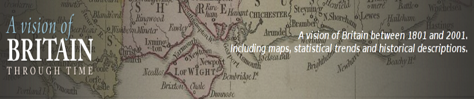
Tagged A Vision of Britain through Time, meeting, Old Maps Online, presentation, The National Archives
Leave a comment
Free One Day Conference: Locating the Past (London, 29th Feb 2012)
This year’s Gerald Aylmer Seminar, sponsored by the UK National Archives, the Royal Historical Society and the Institute of Historical Research, is specifically focused on historical GIS. The event will include the UK launch of our new “Old Maps Online” … Continue reading
Old Maps Online Steering Group Meeting December 2011
Last Thursday saw the first meeting of the Steering Group for the Old Maps Online project. Held at the British Library in London it discussed the concepts behind the the new global historical map portal and the more technical side … Continue reading
Old Maps Online project meeting November 2011
November 24th and 25th saw the first meeting of the full project team for Old Maps Online with the principal developer, Petr Pridal of Klokan Technologies GmbH, visiting the Great Britain historical GIS team in Portsmouth. Discussions over the two … Continue reading
JISC programme meeting November 2011
Monday and Tuesday this week saw the first meeting of all projects funded under the JISC Content Programme 2011-2013 scheme. Gathering in Oxford, each project sent one or two representatives, with Paula Aucott representing Old Maps Online. Activities included a … Continue reading
New ‘Old Maps Online’ project funded by Joint Information Systems Committee
The Joint Information Systems Committee (JISC) have awarded the University of Portsmouth, and the GB Historical GIS project team, a new grant of £139,900 as part of their JISC Content Programme for 2011-13. The new project is called Old Maps … Continue reading
Posted in Content, Funding, Interface, Website
Tagged Funding, Great Britain Historical GIS, historical mapping, JISC, Old Maps Online
1 Comment
